Why Is The Bike Path Between Point State Park And The Mon Wharf Closing?
The state will make improvements to enhance safety and widen the route, and a detour through Downtown Pittsburgh is in place to carry cyclists each way.

PHOTOS BY MAYA VALLETTA
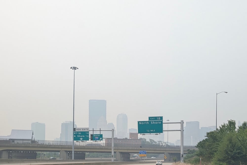
A vital pathway along the Three Rivers Heritage Trail for cyclists and pedestrians that connects Point State Park with the Mon Wharf is closing on Feb. 1 for major improvements. It will be closed through fall 2023.
The route also is part of the 150-mile Great Allegheny Passage, which connects Pittsburgh to Cumberland, Maryland. Eric Boerer, advocacy director of BikePGH, says the closed section will be widened to make it safer and easier to navigate.

“The main thing that they’re doing is one, they’re going to be reducing the ramp [going up to Point State Park from the wharf] so it’s not as steep, but they’re also going to be widening the trail by moving it a little bit closer to the river,” Boerer says. “And the trail will be the same width as a lot of the rest of the trail system, making that final connection directly into the Point.”
Currently, only one bike at a time can fit between bridge pillars at its narrowest section, and cyclists coming from the opposite direction have to wait.
“It’s a really popular trail for a lot of purposes, which is why it’s such an important asset for the city,” he says.

The work is being directed by the Pennsylvania Department of Conservation and Natural Resources. The Friends of the Riverfront, a nonprofit that works to develop and steward the trails along the rivers, supports the project.
Kelsey Ripper, executive director, says renovations will not only make the trail safer, but also invite more riders to the section and offer an appealing route to the Point.
“With a more gradual slope and better line of sight and lighting, I think it’s going to be a more attractive way to get to Point State Park,” Ripper says. “There’s going to be a much safer opportunity for people to move between Mon Wharf and Point State Park.”
“Riverlife is pleased to have partnered with the PA Department of Conservation and Natural Resources in the development of designs for a world-class accessible connection between the Mon Wharf and Point State Park,” said Matthew Galluzzo, president and CEO for Riverlife. “This important piece of connecting infrastructure is a long-awaited, exciting improvement for local and visiting trail users, travelers along the Great Allegheny Passage, and more.”
During construction, pedestrians and bikers must use pre-existing detours from the Smithfield Street Bridge to the Point. Boerer says BikePGH and Pittsburgh’s Department of Mobility and Infrastructure worked closely to build protected bike lanes, road markings and even bicycle-specific traffic signals to help bikers cross Downtown streets.
“We worked closely with [DOMI] on a series of on-street bike lanes and other road markings to help people navigate through Downtown,” Boerer says. “So all that infrastructure and all those markings already exist through a series of streets basically from the Smithfield Street Bridge all the way to the Point.”
Here are the alternate routes:
To the Point: From the Smithfield Street Bridge, cyclists can take Smithfield Street, make a left onto Third Avenue, a right onto the Stanwix Street protected bike lanes, then a left onto the Liberty Avenue protected bike lanes into Point State Park. Alternately, riders can use the Bus-Bike Lane on Fort Pitt Boulevard and Wood Street.
From the Point: Take the Liberty Avenue protected bike lanes, make a right onto Stanwix Street, a left onto the Third Avenue bike lanes, then a right into the Smithfield Street Bus/Bike lanes.
BikePgh produced a video of the alternate route⇓
Friends of the Riverfront are spreading the word about the detour through various media outlets and posting signage along the trail.
“We do social media posts, we did email blasts and we also worked with DCNR to post signage on the trail at several points to let people know that the closure is coming and that this is the suggested detour,” Ripper says. “We’re adding signs to make it clear that people can navigate through the Downtown area to Point State Park.”